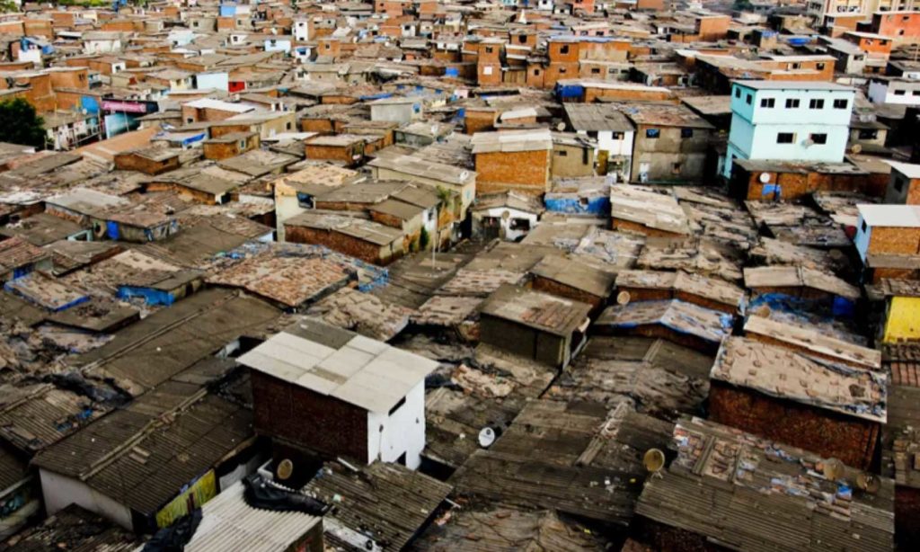
A World Bank study has revealed that Pakistan’s actual urban population is nearly double the figure reported in official statistics. The working paper, titled “When Does a Village Become a Town?: Revisiting Pakistan’s Urbanisation Using Satellite Data,” indicates that around 88% of the population resides in areas with urban characteristics, a significant difference from the official 39% urban population figure.
According to a report by Dawn, the study, based on satellite imagery and the Degree of Urbanisation (DoU) methodology, sheds light on the limitations of Pakistan’s current urban classification system, which relies heavily on administrative boundaries. These boundaries often fail to capture actual population density or settlement patterns, leading to an underrepresentation of urban areas, particularly secondary cities and peri-urban regions.
About 46% of Pakistan’s population resides in high-density cities, while 42% lives in moderately dense urban centres, the study revealed. In contrast, the official statistics only account for the largest cities, overlooking growing urban centres in smaller towns and rural areas transitioning into urban spaces.
This discrepancy between administrative and functional urban classifications has significant implications for fiscal management and urban planning. Misclassified areas lead to reduced property tax revenues and hinder effective delivery of essential public services. Furthermore, it distorts socioeconomic indicators, complicating the creation of evidence-based public policy.
The report also points out that Pakistan’s urbanisation process is not just about expanding megacities like Karachi and Lahore. The real urban growth is occurring in smaller towns and peri-urban areas, which are often neglected in official classifications.
The World Bank report draws attention to the outdated nature of Pakistan’s urban classification system, which last updated its official urban status in 1972. Since then, urban boundaries have been determined by provincial and municipal committees without considering population concentration or infrastructure development.
The study’s findings also reveal that urbanisation in Pakistan is a result of demographic shifts since the early 2000s, with a growing share of the rural population moving away from agriculture, thus transforming rural settlements into vibrant urban centres.
Data from the Degree of Urbanisation methodology, which uses satellite data to track population density, provides a more accurate picture of urbanisation in Pakistan. The research shows a stark contrast between official urbanisation data and the actual level of urban development in various regions, including Islamabad, Khyber Pakhtunkhwa, and other provinces.
In Islamabad, for example, the official urban population is reported as just 47%, whereas the DoU methodology estimates the figure at 90%. Similarly, in Khyber Pakhtunkhwa, the DoU shows an urban population three times higher than the official 15%.
Discover more from Brackly News
Subscribe to get the latest posts sent to your email.


